
Walking Trails and Hikes on Mangaia
As the oldest island in the Cook Islands, Mangaia has some of the most dramatic scenery. While much can be accessed on the roads circumventing the island, the inland roads (and some coastal roads) are much rougher, making better hiking trails than roads.
Check out which roads we recommend for hiking in this list of the best walks on Mangaia.
For more Mangaia trip-planning, check out The Complete Travel Guide to Mangaia and Where to Stay on Mangaia.
This article is based on real on-the-ground research, not on AI scraping old content from the internet. Learn how we use AI!
Table of Contents
1.Mt Rangimotia
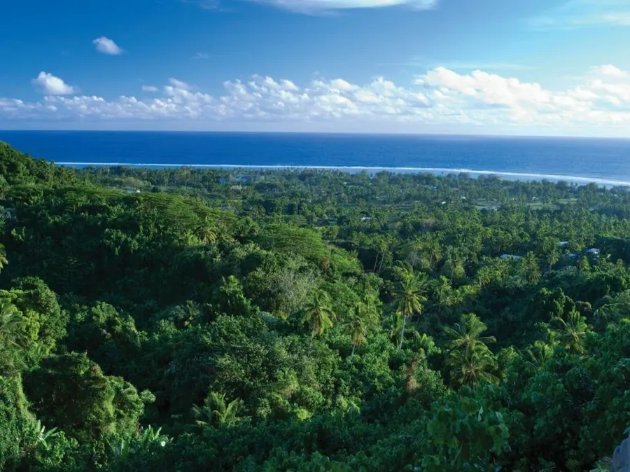
Hike to the highest point on the island, Mt Rangimotia at 169 m (184.8 yards), on the rugged inland road leading to it. The road to the high plateau is not passable for 2WD cars and scooters, but makes for an excellent hike from the diversion south of Ivirua village, lasting approximately 6 km (3.7 mi).
Alternatively, it is 2.5 km (1.6 mi) to the summit from the intersection in the west for the central cross-island road. Either way, you'll pass through a mixture of rainforest and pine forest and capture many views across the island's peaceful taro plantations.
You'll need to walk on the summit for a while to reveal the coastal views, but you'll know you're in the right area when you reach the phone masts. Bring plenty of water and sunscreen for this half-day return walk.
Location: The easiest access to find is the cross-island road intersection just south of Ivirua Road to the east of the island. The shortest walk is the last cross-island road intersection just south of Akeke Trading to the west of the island (inland from Oneroa).
2.Ivirua Coastal Road
Just south of the Ivirua village sign, approximately 300 m (328 yards) away, a rugged road leads to the coast and magnificent beaches in the area known as Anguna. Approximately 1 km (0.6 mi) down this road is the abandoned Ara Moana Bungalows site, followed by a ladder down to the breathtaking Anguna Beach.
Once you've finished exploring the beach, get back on the trail, which ruggedly continues over a flattened coral field to a small roundabout.
From the roundabout, it's a few hundred metres toward the coast where you will find a rope leading down the cliff to another picturesque white sand beach, with more beaches to discover if you continue down the coast this way. It's a total of 2.9 km (1.8 mi) between Anguna Beach and this small beach.
From the small beach, you can continue on the coastal road for another 500 m (547 yards) until the path ends at yet another stunning secluded beach. That will be your last one. Return the same way!
Location: East side of Mangaia. Take the turnoff toward the coast, approximately 300 m (328 yards) south of the Ivirua village sign.
3.Tamarua to the Saragossa Shipwreck
King Dryden’s Aqua Ventures
from NZ$150
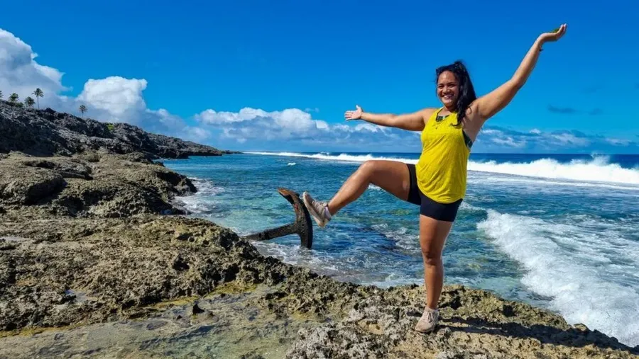
While the locals are happy to plough down this makatea (coral uplift) gorge road, we recommend walking it if you're renting a vehicle or a scooter. From the eastern end of Tamarua village, take the 2 km (1.2 mi) track down to the east coast.
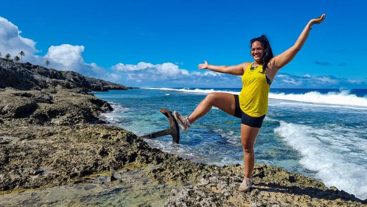
You'll hike through a variety of terrain, cutting through the makatea, rainforest and over a coral plateau until you finally reach the coast. Your reward is the view of the Saragossa Shipwrekck that crashed here in 1904.
At low tide, you can wander among the remains. Return the same way.
Location: South side of Mangaia. Take the coast track located at the far eastern side of Tamarua village.
4.Lake Tiriara (and Tuatini Cave)
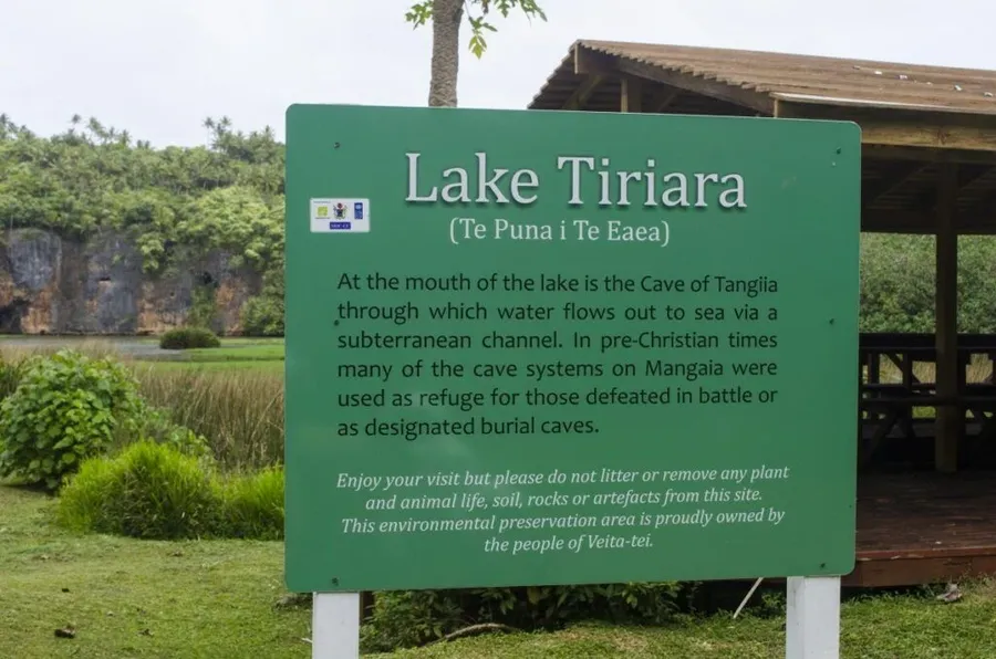
A couple of walking trails to Lake Tiriara can be found on the roadside on the southern inland road between Tamarua and Oneroa, the longest of which links up to Tuatini Caves. You'll see the main lookout of the lake clearly signposted (see image below) which has a sheltered picnic area.
About 600 m (656 yards) up the road is a five-minute trail to another lookout. Then, another 600 m further up the road is the longest walking trail, which circumvents the south side of Lake Tiriara and leads to Tuatini Caves, approximately 1.6 km (1 mi) one way.
The walk can also be accessed from the Tuatini Caves end, 240 m (262 yards) south of the Lake Tiriara picnic area. Exploring Tuatini Caves should only be done with a guide, a) because it's easy to get lost and b) because the caves are on private land. See our 5 Best Caves on Mangaia for more information.
Location: South side of Mangaia, along the inland road between Tamarua and Oneroa, approximately 1 km (0.6 mi) from Tamarua.
Editor's Choice
King Dryden’s Aqua Ventures
Experience the magic of Muri Lagoon like never before with King Dryden’s Aqua Ventures. Our sunset paddle tour immerses you in Rarotonga’s natural beauty and vibrant life, enhanced by the glowing...
5."The Cutting" of the Ivirua Taro Swamp
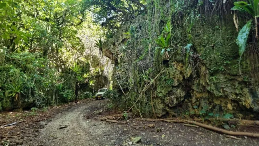
There are some spectacular sections of road that cut deep into the makatea, leaving towering coral walls on either side of the narrow road. One of the best "cuttings" is behind Ivirua village on the Taumatini Marae - Ivirua Taro Swamp Road.
The road takes you south and then north through the bottom of deep canyons draped in ferns and creepers. The route continues through plantations of taro and pineapple, as well as a wide coconut tree valley with rock walls and small cave entrances.
The 4.6 km (2.9 mi) track finally ends when you reach the northern cross-island road.
Location: East side of Mangaia, Taumatini Marae – Ivirua Taro Swamp Road, centre of Ivirua village.
More Walks in Mangaia and the Cook Islands
That's it for the best walks on Mangaia, but there are many shorter trails that we mention in the links below, as well as more walks across the Cook Islands:
Finally, add more to your bucket list using the 101 Best Things to Do in the Cook Islands: The Ultimate List.